Viac
Viac info:
aktualizovať mapu,
uprav v JOSM (pokročilé),
4917024,
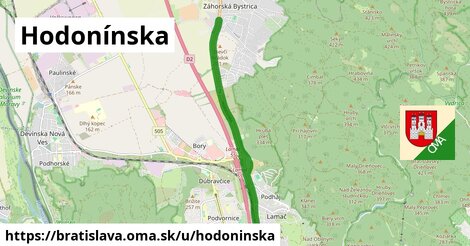
stiahni GPX, oblast id: 1702499, dlzka: 6453, oblast name: Bratislava, oblast asci: bratislava, psc: {84103, 84106}, obce:
Slovensko,
Karpaty,
Bratislavský kraj,
Borská nížina,
Malé Karpaty,
Bratislava,
okres Bratislava IV,
Záhorská Bystrica,
Lamač,
Vápenický potok, lon: 17.03995652331063, lat: 48.2110385836935, lit: yes, foot: yes, lanes: 2, layer: 1, bridge: yes, oneway: yes, abutters: residential, junction: roundabout, maxspeed: 50, shoulder: no, sidewalk: no, lanes:psv: 1, oma:sekcia: cesko, overtaking: no, smoothness: good, turn:lanes: through|merge to left, osm version: 10, cycleway:left: share busway, lanes:forward: 1, maxspeed:type: SK:urban, osm changeset: 0, osm timestamp: 2023 11 10T22:32:14Z, sidewalk:both: no, lanes:backward: 2, source:maxspeed: SK:urban, middle of:1, yes|designated|yes, 1, middle of:1, yes|designated, slight left|through|slight right, slight left|through, yes|no|yes, yes|designated, yes|no,